Reference Manual
Table Of Contents
- Table of Contents
- Welcome
- Main Menu
- File Menu
- Job Menu
- Job Menu – GPS
- Job Menu – Basic GPS
- Survey Menu
- Backsight Setup
- Traverse / Sideshot
- Repetition Shots
- Multiple Sideshots
- Radial Sideshots
- Distance Offset Shot
- Horizontal Angle Offset
- Vertical Angle Offset
- Auto Collect
- Corner & 2 Lines
- Corner & Angle
- Corner & Offset
- Corner & Plane
- Surface Scan
- Video Scan
- Shoot From Two Ends
- Record Mode
- Resection
- Remote Elevation
- Check Point
- Solar Observation
- Remote Control
- Survey Menu – GPS
- Survey Menu – Basic GPS
- Leveling Menu
- Stakeout Menu
- Stakeout Menu – GPS and Basic GPS
- Inverse Menu
- Cogo Menu
- Curve Menu
- Roads Menu
- Adjust Menu
- Miscelaneous Screens
- Appendix A
- Index

Survey Pro Reference Manual
R-452
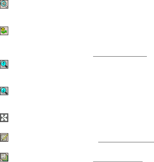
Zoom To Point Button: prompts you for a point name and then
the map view will be centered to the specified point with the point
label displayed in red.
Turn To Point Button: Tap this button and then tap a point in
the map view to automatically turn the total station to the selected
point. This is only available when a robotic total station is selected
and Remote Control is active in the Instrument Settings
.
Increase Vertical Scale: is only available when viewing a
vertical profile. Each time it is tapped, the vertical scale of the view
is increased.
Decrease Vertical Scale: is only available when viewing a
vertical profile. Each time it is tapped, the vertical scale of the view
is decreased.
Zoom Preview Button: will display only the points that are
currently in use (only available from certain map view screens).
Map Display Options: opens the Map Display Options screen,
described below.
Manage Basemaps: opens the Manage Basemaps screen,
described below (only available from the main map view, accessed
from the command bar button).


