
Reference Manual


Table Of Contents
- Table of Contents
- Welcome
- Main Menu
- File Menu
- Job Menu
- Job Menu – GPS
- Job Menu – Basic GPS
- Survey Menu
- Backsight Setup
- Traverse / Sideshot
- Repetition Shots
- Multiple Sideshots
- Radial Sideshots
- Distance Offset Shot
- Horizontal Angle Offset
- Vertical Angle Offset
- Auto Collect
- Corner & 2 Lines
- Corner & Angle
- Corner & Offset
- Corner & Plane
- Surface Scan
- Video Scan
- Shoot From Two Ends
- Record Mode
- Resection
- Remote Elevation
- Check Point
- Solar Observation
- Remote Control
- Survey Menu – GPS
- Survey Menu – Basic GPS
- Leveling Menu
- Stakeout Menu
- Stakeout Menu – GPS and Basic GPS
- Inverse Menu
- Cogo Menu
- Curve Menu
- Roads Menu
- Adjust Menu
- Miscelaneous Screens
- Appendix A
- Index
Miscellaneous Screens
R-451
Map View
or from the command bar in various screens.
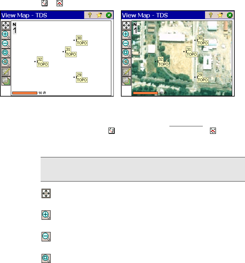
Map View without basemaps Map View with basemaps
Many screens provide access to a map view, which shows data from
the current job. It can be accessed from the Main Menu
in the
command bar with the
button, or any screen that has a button.
Some map views display additional information, such as a vertical
profile.
Tip: You can pan around your map by dragging your finger or stylus
across the screen.
Zoom Extents Button: will change the scale of the screen so that
all the points in the current job will fit on the screen.
Zoom In Button: will zoom the current screen in by
approximately 25%.
Zoom Out Button: will zoom the current screen out by
approximately 25%.
Zoom Window Button: allows you to drag a box across the
screen. When your finger or stylus leaves the screen, the map will
zoom to the box that was drawn.