
Reference Manual


Table Of Contents
- Table of Contents
- Welcome
- Main Menu
- File Menu
- Job Menu
- Job Menu – GPS
- Job Menu – Basic GPS
- Survey Menu
- Backsight Setup
- Traverse / Sideshot
- Repetition Shots
- Multiple Sideshots
- Radial Sideshots
- Distance Offset Shot
- Horizontal Angle Offset
- Vertical Angle Offset
- Auto Collect
- Corner & 2 Lines
- Corner & Angle
- Corner & Offset
- Corner & Plane
- Surface Scan
- Video Scan
- Shoot From Two Ends
- Record Mode
- Resection
- Remote Elevation
- Check Point
- Solar Observation
- Remote Control
- Survey Menu – GPS
- Survey Menu – Basic GPS
- Leveling Menu
- Stakeout Menu
- Stakeout Menu – GPS and Basic GPS
- Inverse Menu
- Cogo Menu
- Curve Menu
- Roads Menu
- Adjust Menu
- Miscelaneous Screens
- Appendix A
- Index
File Menu
R-17
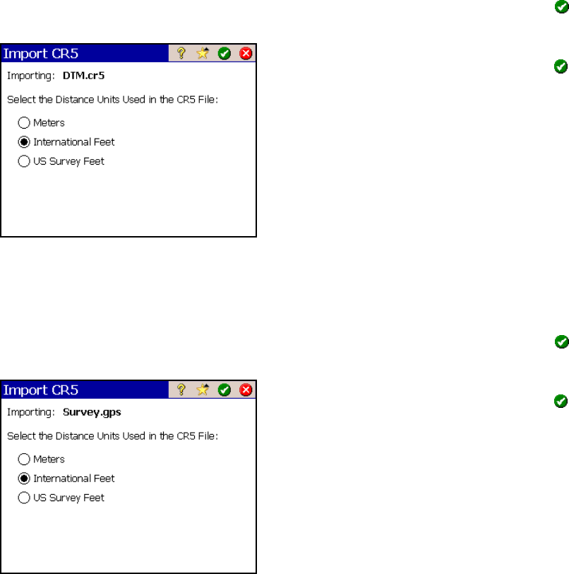
Import *.CR5 Coordinates
When importing a CR5 file, you will first be prompted to select the
layer where you want the new data stored. Select a layer and tap
to continue.
In the next screen, select the distance units
that the coordinates were stored in and tap
.
Import *.GPS Coordinates
When importing a GPS file, you will first be prompted to select the
layer where you want the new data stored. Select a layer and tap
to continue.
In the next screen, select the distance units
that the coordinates were stored in and tap
.
When importing coordinates from both a TDS
CR5 and GPS file from the same job, the GPS
coordinate will be linked to the coordinates in
the CR5 file. For more information on this,
refer to the GPS User’s Guide.