
Software Manual


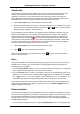

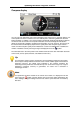
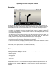

Table Of Contents
- Chapter 1. Introduction
- Chapter 2. Manual installation and start-up
- Chapter 3. Installation and start-up using the GoPal® Assistant
- Chapter 4. Basics of operation
- Chapter 5. Adjusting the Settings
- Chapter 6. Operating the GoPal® navigation software
Operating the GoPal
®
navigation software
50
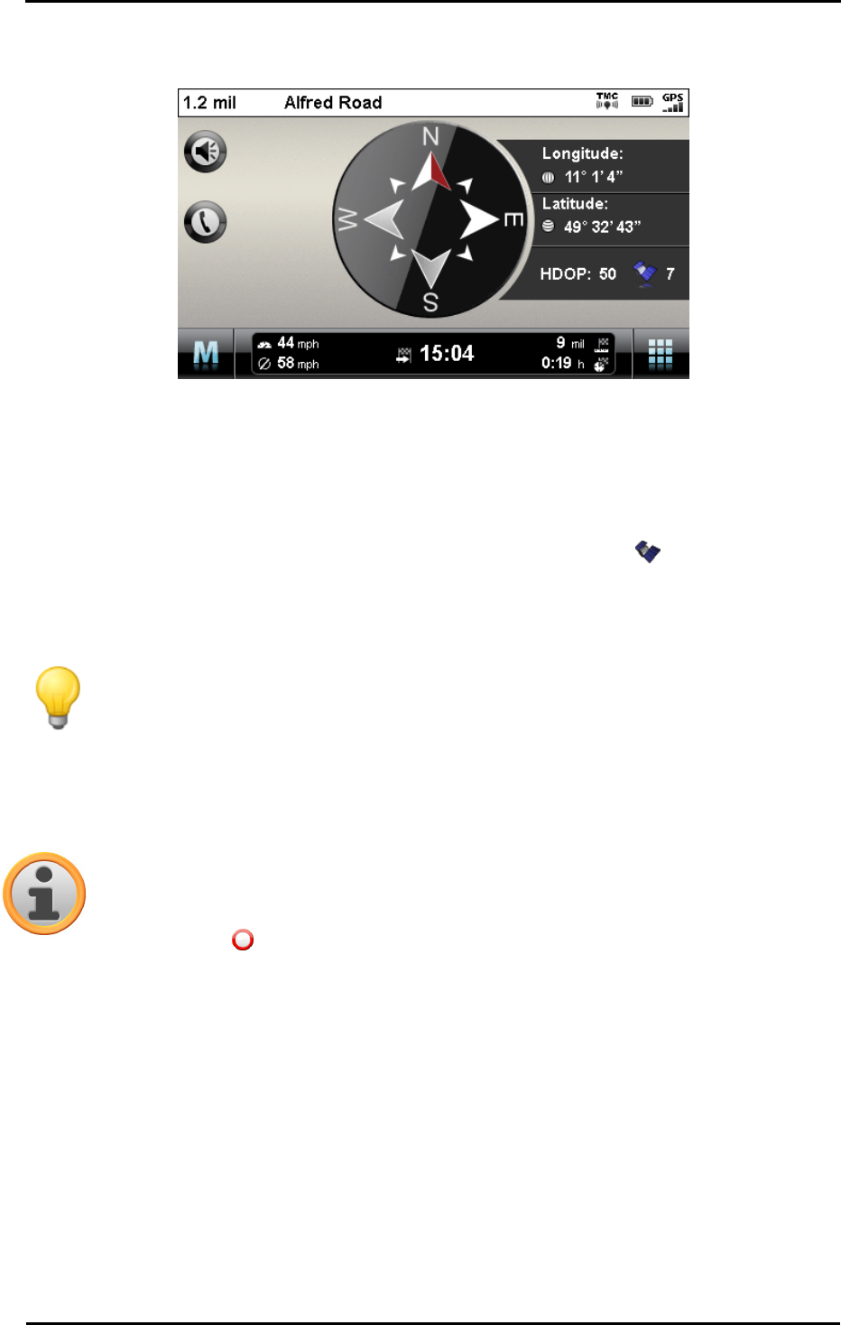
Compass display
You can call up an alternative view to the map display in the Quick menu. In compass display, your
current position is shown in relation to the four cardinal points, North being labelled in colour for
better orientation. In addition, your current position is stated with longitude and latitude in degrees,
arc minutes and arc seconds. The compass orientation as well as the longitude and latitude
display is continuously updated to enable precise orientation. As a rule, however, the accuracy of
the measurement and the display depend on the quality of the GPS reception signal: For this
reason, the GPS reception quality is also indicated as a value in the HDOP field. In addition, the
number of satellites currently receiving the signal is displayed next to the symbol.
The information bar in the lower portion of the window shows all of the other information about the
current route (such as speed, distance, calculated travel time etc.).
Tip
Your navigation system uses the signals from several satellites to determine the position.
There may be overlap between the section areas of these satellite signals which reduces
measuring accuracy. The HDOP value indicated in the compass describes the
measuring accuracy within the horizontal 2D map: For values in the range to 6, a high to
satisfactory measuring accuracy is guaranteed, for values over 6 deviation is
increasingly common.
Note
If a speed limit has been entered for the current route section, it is displayed in the left
corner using the symbol: A spoken warning only occurs if the option Speed limit in the
menu Settings > Program settings has been set and the speed has been exceeded by
this value.