
Software Manual


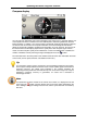
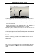

Table Of Contents
- Chapter 1. Introduction
- Chapter 2. Manual installation and start-up
- Chapter 3. Installation and start-up using the GoPal® Assistant
- Chapter 4. Basics of operation
- Chapter 5. Adjusting the Settings
- Chapter 6. Operating the GoPal® navigation software
Operating the GoPal
®
navigation software
48
your current position is displayed on the screen once again.
• Within the simulation you can use the Next manoeuvre button to skip to the next manœuvre, to
shorten real time navigation. The time specifications regarding trip duration are adjusted
accordingly.
In addition, all of the functions of your navigation system are available during simulation.
Starting and displaying navigation
Once you have configured your navigation system and entered the desired route, you can start the
calculation and thus the navigation for this route. Navigation can be started as follows:
• Tap the Start navigation button on the start screen of your navigation software to start
navigation of a planned route.
• Tap the button on the Detailed information screen to start navigating to a new destination, a
POI, a favourite or for a (saved) tour.
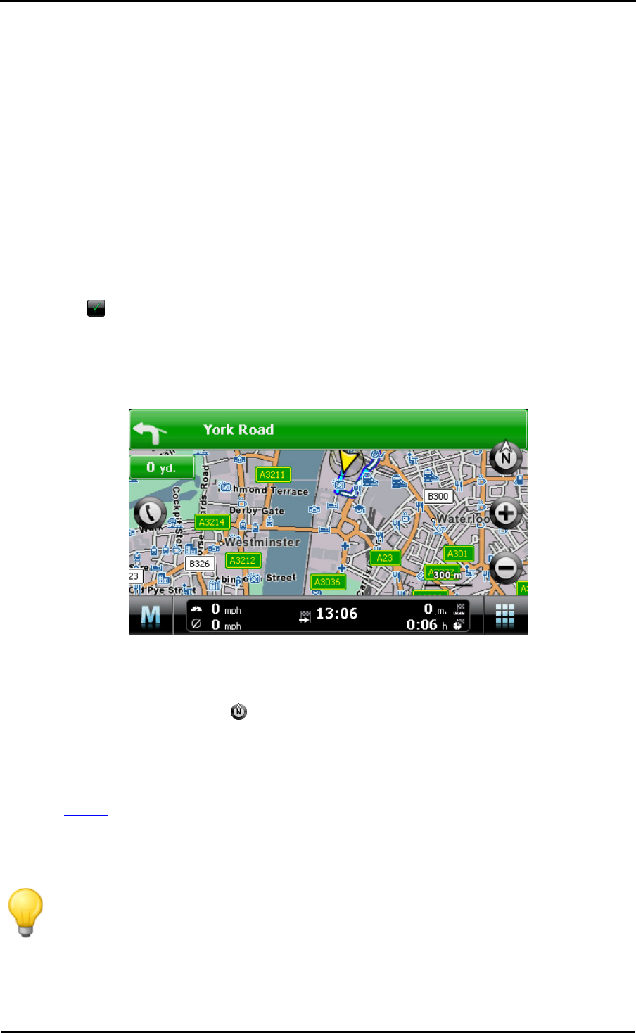
Once navigation has been started, your navigation system switches to the map view. The
calculated route is displayed there and compared to your current position in real time.
The planned route is displayed as follows in the map view:
• The route is displayed in a map section oriented to the north. You can switch the map display
from 2D to a 3D view using the button if needed. The following display modes are available:
o The map is displayed in a two-dimensional view. If you have set the map view to normal in
the Settings > Display menu, the map is oriented either to the north or in the direction of
travel. If you have selected the smart option, the map is oriented to the north for low levels
of zoom and in the direction of travel for higher levels of zoom (see also Adjusting the
display).
o In the mode 3D map, the map is tilted and three-dimensional. The three-dimensional
display is always oriented to the North.
Tip
In the two-dimensional display modes, you can manually move the current map section
by tapping a position within the map, holding it down and moving it in the desired
direction: The map section is automatically adjusted. This function is not available in the
three dimensional mode!