
Software Manual


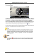
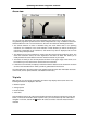

Table Of Contents
- Chapter 1. Introduction
- Chapter 2. Manual installation and start-up
- Chapter 3. Installation and start-up using the GoPal® Assistant
- Chapter 4. Basics of operation
- Chapter 5. Adjusting the Settings
- Chapter 6. Operating the GoPal® navigation software
Operating the GoPal
®
navigation software
47
Avoid route
Under certain circumstances, traffic disturbances may occur on the planned routes which were
unknown at the time the route was planned and thus were not taken into account during
calculation. In this case, you can manually block off a section of the route to come after your
current position in order to calculate an alternate route for the selected distance and to avoid the
traffic disturbance in this way. Proceed as follows to avoid a section of the route:
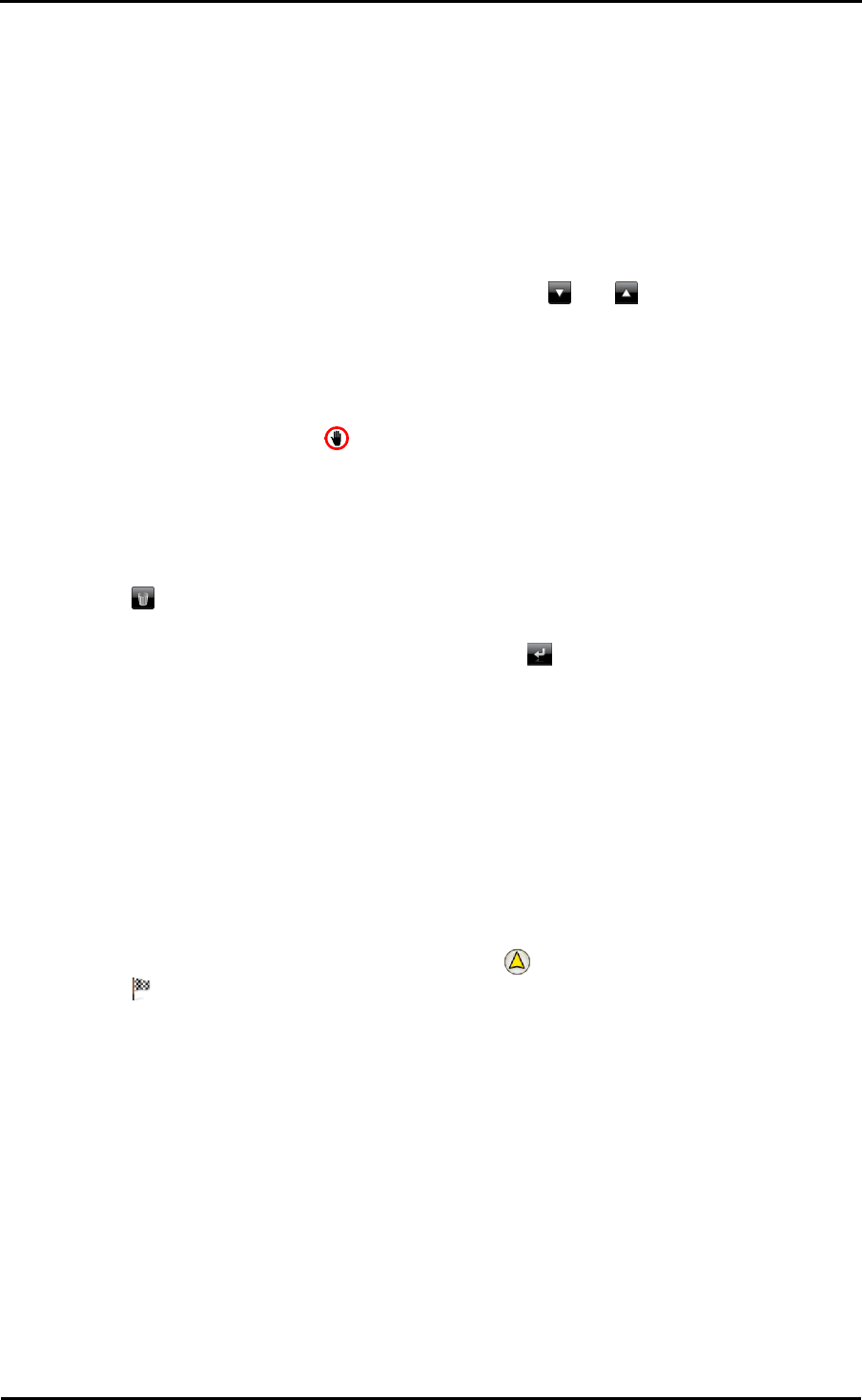
5. Tap the Avoid route button: The Avoid route screen then opens.
6. Select the desired distance from the list: If the desired distance is not available in the current
section of list, you can browse through the list using the and buttons. Choose from the
following options: 100/500 m, 1/2/5/10/15/25 km.
Once the distance has been selected, your navigation system calculates an alternate route and
switches automatically to the map view:Once the distance has been selected, your navigation
system calculates an alternate route and switches automatically to the map view: Navigation is
updated and rerouted. The symbol in the map view marks the position from which the route
was avoided (or from which the distance for the Avoid route function was selected). At the end of
the detour your navigation system switches back to the planned route and continues navigation.
Proceed as follows to remove the blocks on sections of roads:
7. Tap the Avoid route button: The Avoid route screen then opens.
8. Tap the button: The current blocks are removed.
When you wish to exit the route avoidance screen, use the button to return to the selection
menu for route information.
Go to
During route navigation or following route planning you can go to an overview of your route, to the
destination area or back to your current location or starting position when route planning. The
following options are available:
• Use the Current position button to show your current location on the map view. The planned
route is displayed in blue and leads out of the current map section.
• Use the Overview button to show the calculated route from the location/starting point to the
destination. The current location is indicated with the symbol, the destination(s) are labelled
with the symbol: If you have planned several destinations, they are numbered. The
calculated route between the location/starting point and the destination(s) is shown in blue.
In the map view, basically all of the functions including zoom, the selection of map display and the
display of route information are available. If required, you can use the Start navigation button to
start the displayed route directly.
Route simulation
You can simulate a planned route if needed: When you do this, navigation is displayed in the map
view and it runs through all of the manoeuvres: Navigation takes place in real time based on one of
the speed limits specified for the respective map section. The manœuvres are documented
visually on the screen as well as via your navigation system’s voice. The following possibilities are
available during simulation:
• You can stop the simulation at any time using the Stop simulation button. The map display with