
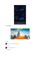
User Manual

34
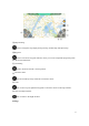
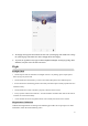
⑲
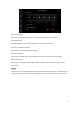
Map switching
: click to change the map display among 2D map, satellite map and hybrid map.
⑳
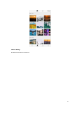
Waypoint
: click to activate the waypoint function, where you can set and upload flying mark points
that the aircraft will follow.
㉑ Positioning
: click to locate the aircraft’s current position.
㉒
Electronic fence
: the aircraft will fly safely within the set electronic fence.
㉓
Clear
: click to clear any non-uploaded waypoints or electronic fences in the map interface.
㉔ Switch to flight interface
: click to return to the flight interface.
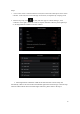
Settings: