
User`s manual
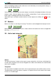
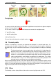

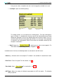
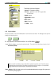
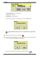
Table Of Contents
- Introduction
- User Interface
- Display Elements
- Cross Country Tasks
- Glide Computer
- Atmosphere and Instruments
- Airspace, Traffic and Team Flying
- Avionics and Airframe
- Quickstart
- InfoBox Reference
- Configuration
- Data Files
- About XCSoar
- GNU General Public License
3 DISPLAY ELEMENTS
Terrain and topology display can be switched on or off individually in the configuration settings, or
together over the following menu:
DISP Map Off
If the terrain file is not specified (or terrain display is turned off), the background colour of the map
window is white. All terrain below mean sea level is coloured blue. If you are flying outside the
terrain region, the background colour will also be blue.
Some other layers and labels can be turned on or off to improve the visibility. See 11.3 for more
details.
3.7 Markers
Markers are shown as small flags on the map. The markers can be dropped manually by the menu:
DISP Mark Location
Markers are not preserved after XCSoar is exited, however the location of all marks are appended
to the file xcsoar-marks.txt.
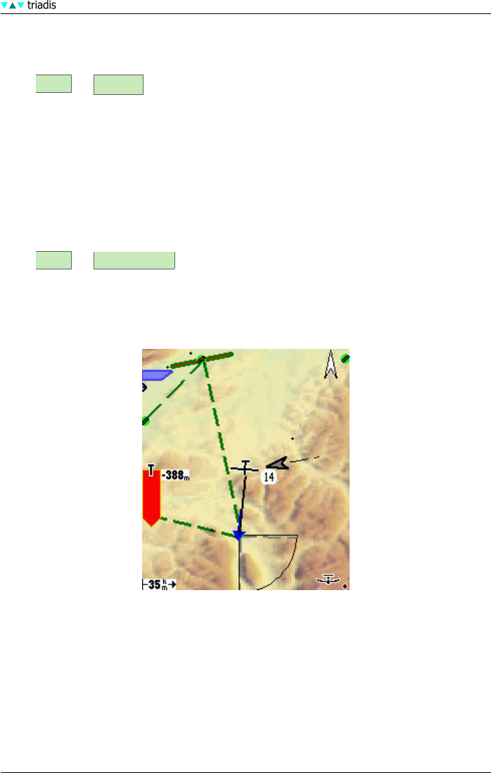
3.8 Active task elements
Course
The active task course is drawn on the map as a green dashed line. At all times a thick black line
is drawn from the glider to the next task waypoint and a blue arrow indicates the recommended
course to this waypoint.
Taskpoints
The start and finish taskpoint show circles or lines representing the start and finish zones or lines.
Task observation sectors are drawn as segments. Assigned area tasks also show the task sectors
or areas as a shaded region.
XCSoar Manual (Altair version) • XCSoar-A-EN 26